


For U.S. importers, deciding between West Coast and East Coast ports is a constant trade-off between speed and cost. Shipping to the West Coast is faster, but your cargo still has to get inland. Sending it directly to the East Coast takes longer but can avoid domestic rail fees and delays.
This analysis breaks down the total landed cost for both routes. We’ll compare the 15-day difference in ocean transit time and examine when a “land bridge” strategy—combining a West Coast port with a $1,500 to $2,500 rail leg—makes financial sense. We will also cover how Panama Canal disruptions, trucking rates, and your final destination influence the best choice for your supply chain.

The “Land Bridge” (Rail) Cost
The “land bridge” is the cost of moving ocean containers by rail from U.S. West Coast ports to the East Coast, typically ranging from $1,500 to $2,500 per container. This logistics strategy becomes cost-effective when ocean freight rates to the West Coast are significantly lower than direct rates to the East Coast, allowing shippers to combine a cheaper sea route with a cross-country rail journey.
Understanding the Land Bridge Strategy
The “land bridge” refers to the cost of moving ocean containers by rail from U.S. West Coast ports like Los Angeles and Long Beach to destinations on the East Coast.
This approach is a common logistics strategy when ocean freight rates from Asia to the West Coast are 40-50% lower than rates for direct shipment to the East Coast.
It effectively uses the cheaper ocean route to the West Coast and bridges the remaining distance across the country via the rail network.
Cost Breakdown of the Rail Component
The typical rail cost from the West Coast to the East Coast ranges from $1,500 to $2,500 per 40-foot container.
This price covers several fees, including local port drayage ($200–$400), the primary rail journey ($1,000–$1,800), and terminal handling ($300–$500).
Rail carriers like BNSF and Union Pacific manage this inland transit, which can be vulnerable to bottlenecks and surcharges during peak seasons.
Total Cost: Land Bridge vs. Direct Ocean
Land Bridge Total Cost: The final price combines the West Coast ocean rate (around $1,700–$2,673) with the inland rail fee, resulting in a total estimated cost of $3,200–$5,173.
Direct Ocean Total Cost: Shipping directly to an East Coast port typically costs between $2,708 and $5,151, with no additional cross-country rail fees.
The land bridge becomes more economical when West Coast spot rates are low, but the savings can be offset by inland delays or unexpected rail surcharges.

Transit Time: West (20 Days) vs East (35 Days)
When shipping from Asia, ocean transit to U.S. West Coast ports like Los Angeles takes approximately 14–20 days, while all-water routes to East Coast ports such as New York/New Jersey require 25–35 days. This 15-day difference is a key variable for supply chain planning, impacting lead times and inventory management strategies.
| Route | Typical Port-to-Port Transit Time | Planning Benchmark |
|---|---|---|
| Asia to U.S. West Coast | 14–20 days | 20 Days |
| Asia to U.S. East Coast (All-Water) | 25–35 days | 35 Days |
Port-to-Port Time Benchmarks
Shipping from Asia to major West Coast ports like Los Angeles/Long Beach typically takes 14–20 days. All-water services from Asia to East Coast ports, such as New York/New Jersey or Savannah, run significantly longer, from 25–35 days. These figures represent typical port-to-port transit times and serve as a realistic planning benchmark for U.S. imports.
Impact on Lead Time and Network Design
The ~15-day difference in ocean transit is a critical factor for lead-time modeling and inventory management. This time differential directly influences port-of-entry selection when designing U.S. import supply chains. Choosing a West Coast port can shorten the overall time-to-market compared to an all-water route to the East Coast, before factoring in inland transport.
Panama Canal Delays & Surcharges
Conditions at the Panama Canal have improved since the severe drought of 2023-2024, but capacity remains limited, causing delays and surcharges. Routes from Asia to the U.S. East and Gulf Coasts are most affected, seeing transit times increase by 7-10 days and shipping rates rise by 20-30%.
Current State of Delays and Transit Capacity
While conditions have improved from the peak drought disruptions of 2023–2024, some operational limitations and congestion are expected to persist into 2026. Berthing wait times have dropped significantly, reaching 10.6 hours at Puerto Colon by mid-2026. Still, the canal’s operational capacity remains constrained. Daily transits are limited to around 31 ships, and the maximum vessel draft is reduced to 44 feet from its usual 50 feet.
Impact on Shipping Costs for East Coast Routes
These disruptions primarily impact shipping routes from Asia to the U.S. East and Gulf Coasts, adding between 7 to 10 days to standard transit times. Shippers using these affected lanes face rate increases between 20-30%. For instance, rates for the Asia-to-U.S. East Coast lane have increased by approximately 25% due to the ongoing constraints.
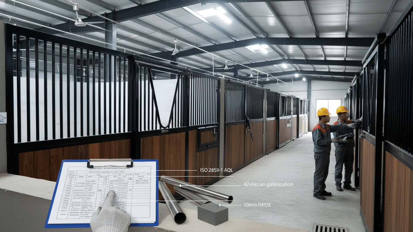
Custom Horse Stables Engineered for Any Climate


Trucking Rates: Long Haul vs. Short Haul
Long-haul trucking rates for trips over 250 miles typically average $2.20–$2.50 per mile, influenced by distance and fuel. In contrast, short-haul runs have a higher effective per-mile rate because fixed costs like driver wait time and loading are spread across fewer miles. Pricing for short-haul is more sensitive to urban congestion and terminal delays, while long-haul rates are shaped by broader factors like port activity and global trade flows.
Defining Per-Mile Rate Differences
Long-haul trips, typically over 250 miles, have national average linehaul rates around $2.20–$2.50 per mile, including fuel. Short-haul runs often have a higher effective per-mile rate because fixed costs like driver time and loading are spread over fewer miles, pushing costs above the long-haul baseline.
Key Cost Drivers for Each Haul Type
Long-haul costs are primarily driven by distance, fuel prices, and backhaul lane balance. Short-haul pricing is more sensitive to factors like driver hours of service, urban congestion, and time spent waiting at terminals or yards.
How Port Location Influences Long-Haul Rates
Long-haul rates from coastal ports are directly shaped by import surges and shifts in global trade flows between the East and West Coasts. Recent data has shown West Coast long-haul spot rates can experience sharper volatility than East Coast lanes, reflecting how changes in port demand re-price trucking capacity.

Choosing the Right Port for Midwest Buyers
For Midwest buyers importing from Asia, West Coast ports like Los Angeles and Long Beach are the most efficient option. This route offers shorter ocean transit times of 14-28 days and lower freight costs, with a 40ft container ranging from $2,044 to $2,327. In contrast, East Coast ports are less efficient, with freight rates that are 30-65% higher, longer shipping routes, and a greater potential for significant delays.
West Coast Ports: The Efficient Route to the Midwest
Direct routes from Asia to West Coast ports, such as Los Angeles and Long Beach, are the ideal choice for Midwest buyers who use inland intermodal rail (IPI) for transport. This option provides shorter ocean transit times, averaging between 14 to 28 days. Freight costs are also significantly lower, with a typical 40ft container priced from $2,044 to $2,327, making it a cost-effective and time-efficient solution.
East Coast Ports: Navigating Higher Costs and Delays
Routing cargo through East Coast ports like New York/New Jersey is a less efficient strategy for reaching Midwest destinations. Freight rates are 30-65% higher than West Coast options, with a 40ft container costing between $2,953 and $3,395. Longer shipping routes, frequent port congestion, and potential rail delays all contribute to increased transit times and overall expenses.
Frequently Asked Questions
Is it cheaper to ship to the West Coast or East Coast?
For ground services on packages weighing 4 lbs or more, it is generally cheaper to ship from the East Coast to Los Angeles than the other way around. Costs depend on weight, size, and speed, but carriers like FedEx and UPS often show lower rates for heavier packages on this route.
How long does the train take from Los Angeles to Texas?
A train trip from Los Angeles to major Texas cities like Houston or Dallas typically takes between 35 and 40 hours on passenger rail. For example, the route to Houston is about 35 hours, while the trip to Dallas takes around 37 to 39 hours.
What is a Mini Land Bridge (MLB)?
A Mini Land Bridge is an intermodal shipping method that moves sea containers from Asia to a U.S. West Coast port, then transfers them onto a train or truck for delivery to an East or Gulf Coast destination. This avoids the longer all-water route through the Panama Canal, trading a higher cost for faster transit times.
Does the Panama Canal drought affect shipping prices?
Yes, the drought has significantly increased shipping prices on routes using the Panama Canal. With reduced water levels cutting vessel capacity, delays and surcharges have pushed up freight rates for container and bulk cargo destined for the U.S. East and Gulf Coasts.
Can I pick up my container from the port myself?
You can arrange to pick up cargo directly from a port, but it is a complex process. You must secure customs clearance, pay all port and carrier fees, and hire a licensed and insured drayage truck company with a TWIC-credentialed driver to enter the terminal and retrieve the container.
Which ocean port is closest to Kentucky?
For international ocean freight, the closest deep-water seaports to Kentucky are the Port of Savannah in Georgia and the Port of Charleston in South Carolina. While Kentucky has its own riverports, these Atlantic ports are the primary gateways for container shipments.
Final Thoughts
Choosing between shipping to the West Coast or East Coast boils down to a trade-off between speed and total landed cost. West Coast ports offer a significantly faster ocean journey from Asia, but this advantage requires adding inland rail or trucking costs to reach central and eastern markets. An all-water route to the East Coast avoids these inland fees and simplifies the final leg of the journey, but it adds about two weeks to the transit time and exposes shipments to potential Panama Canal delays.
There is no single best answer for every shipment. The right strategy depends on real-time market conditions. When West Coast ocean rates are low, the “land bridge” strategy can be very effective. But when rail networks are congested or canal surcharges are minimal, a direct East Coast shipment might be more economical. Successful supply chains adapt by continuously analyzing freight rates, inland capacity, and transit times to find the most efficient route for their inventory needs.


0 Comments